
Laghouat topographic map
Interactive map
Click on the map to display elevation.
About this map
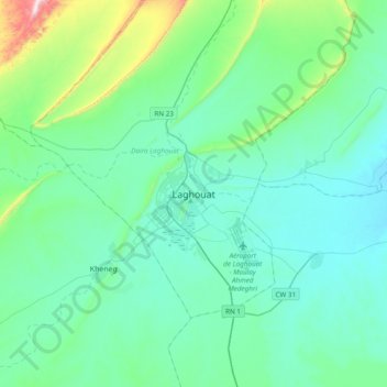
Name: Laghouat topographic map, elevation, terrain.
Location: Laghouat, Laghouat District, Laghouat, 03000, Algeria (33.64635 2.72086 33.96635 3.04086)
Average elevation: 819 m
Minimum elevation: 722 m
Maximum elevation: 1,362 m