
Okene topographic map
Interactive map
Click on the map to display elevation.
About this map
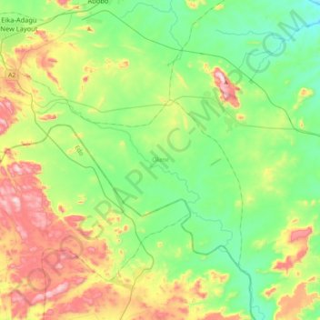
Name: Okene topographic map, elevation, terrain.
Location: Okene, Kogi State, Nigeria (7.34200 6.13357 7.57778 6.49063)
Average elevation: 253 m
Minimum elevation: 66 m
Maximum elevation: 651 m
Other topographic maps
Click on a map to view its topography, its elevation and its terrain.