
Danja topographic map
Interactive map
Click on the map to display elevation.
About this map
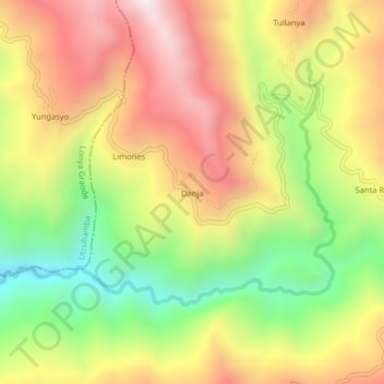
Name: Danja topographic map, elevation, terrain.
Location: Danja, Province of Luya, Amazonas, Peru (-6.18179 -78.38154 -6.14179 -78.34154)
Average elevation: 1,308 m
Minimum elevation: 818 m
Maximum elevation: 1,779 m