
shire river topographic map
Interactive map
Click on the map to display elevation.
About this map
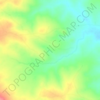
Name: shire river topographic map, elevation, terrain.
Location: shire river, Ntcheu, Central Region, 1234, Malawi (-14.81722 34.68068 -14.80942 34.70104)
Average elevation: 976 m
Minimum elevation: 936 m
Maximum elevation: 1,023 m