
Beavercreek topographic map
Interactive map
Click on the map to display elevation.
About this map
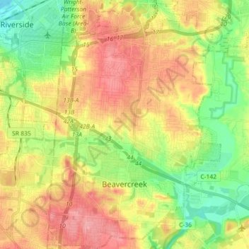
Name: Beavercreek topographic map, elevation, terrain.
Location: Beavercreek, Greene County, Ohio, United States of America (39.68086 -84.10662 39.79013 -84.00828)
Average elevation: 274 m
Minimum elevation: 230 m
Maximum elevation: 318 m