
Yangon topographic map
Interactive map
Click on the map to display elevation.
About this map
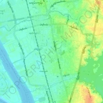
Name: Yangon topographic map, elevation, terrain.
Location: Hlaing, Northern District, Yangon, Myanmar (16.83086 96.09905 16.86286 96.14132)
Average elevation: 13 m
Minimum elevation: -1 m
Maximum elevation: 36 m
Other topographic maps
Click on a map to view its topography, its elevation and its terrain.