
Kurfi topographic map
Interactive map
Click on the map to display elevation.
About this map
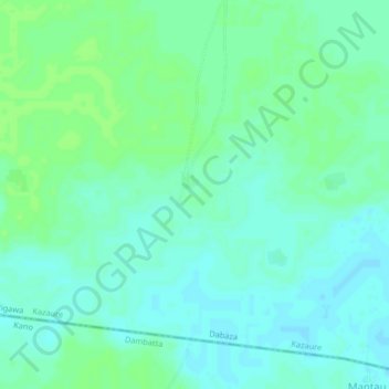
Name: Kurfi topographic map, elevation, terrain.
Location: Kurfi, Kazaure, Jigawa, Nigeria (12.59405 8.56402 12.63405 8.60402)
Average elevation: 409 m
Minimum elevation: 404 m
Maximum elevation: 414 m