
Oshikoto topographic map
Interactive map
Click on the map to display elevation.
About this map
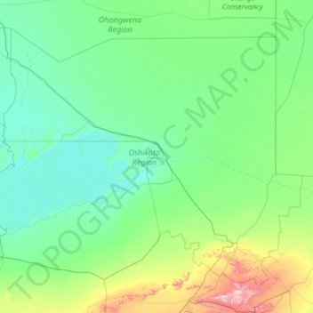
Name: Oshikoto topographic map, elevation, terrain.
Location: Oshikoto, Namibia (-19.53342 15.84030 -17.68904 18.20241)
Average elevation: 1,177 m
Minimum elevation: 1,077 m
Maximum elevation: 2,095 m