
Chur topographic map
Interactive map
Click on the map to display elevation.
About this map
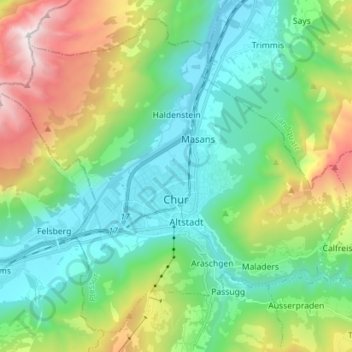
Name: Chur topographic map, elevation, terrain.
Location: Chur, Plessur, Grisons, Switzerland (46.81803 9.48492 46.88832 9.58066)
Average elevation: 993 m
Minimum elevation: 545 m
Maximum elevation: 2,320 m