
Kwamba topographic map
Interactive map
Click on the map to display elevation.
About this map
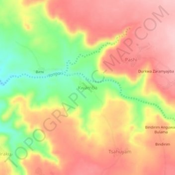
Name: Kwamba topographic map, elevation, terrain.
Location: Kwamba, Hawul, Borno, Nigeria (10.45751 12.07949 10.49751 12.11949)
Average elevation: 649 m
Minimum elevation: 545 m
Maximum elevation: 719 m