
Sankuru topographic map
Interactive map
Click on the map to display elevation.
About this map
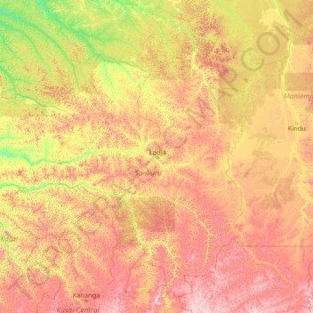
Name: Sankuru topographic map, elevation, terrain.
Location: Sankuru, Democratic Republic of the Congo (-6.06749 21.02450 -0.94749 26.14450)
Average elevation: 513 m
Minimum elevation: 339 m
Maximum elevation: 920 m