
Alaguntan topographic map
Interactive map
Click on the map to display elevation.
About this map
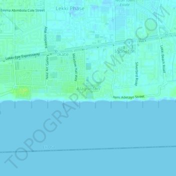
Name: Alaguntan topographic map, elevation, terrain.
Location: Alaguntan, Eti Osa, Lagos, Nigeria (6.40487 3.47159 6.44487 3.51159)
Average elevation: 2 m
Minimum elevation: -2 m
Maximum elevation: 11 m