
Windsor topographic map
Interactive map
Click on the map to display elevation.
About this map
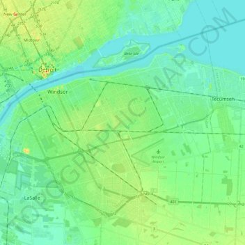
Name: Windsor topographic map, elevation, terrain.
Location: Windsor, Southwestern Ontario, Ontario, Canada (42.23416 -83.11495 42.35721 -82.89114)
Average elevation: 183 m
Minimum elevation: 171 m
Maximum elevation: 216 m
Other topographic maps
Click on a map to view its topography, its elevation and its terrain.