
Jackson County topographic map
Interactive map
Click on the map to display elevation.
About this map
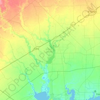
Name: Jackson County topographic map, elevation, terrain.
Location: Jackson County, Texas, United States of America (28.67399 -96.93868 29.26432 -96.30891)
Average elevation: 22 m
Minimum elevation: -1 m
Maximum elevation: 67 m