
Huambo topographic map
Interactive map
Click on the map to display elevation.
About this map
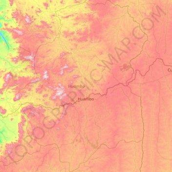
Name: Huambo topographic map, elevation, terrain.
Location: Huambo, Angola (-13.76667 14.79250 -11.43389 16.58333)
Average elevation: 1,601 m
Minimum elevation: 855 m
Maximum elevation: 2,546 m