
Gashaka topographic map
Interactive map
Click on the map to display elevation.
About this map
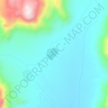
Name: Gashaka topographic map, elevation, terrain.
Location: Gashaka, Hong, Adamawa, Nigeria (10.15195 12.95629 10.19195 12.99629)
Average elevation: 647 m
Minimum elevation: 527 m
Maximum elevation: 1,155 m