
Mada topographic map
Interactive map
Click on the map to display elevation.
About this map
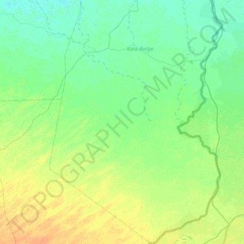
Name: Mada topographic map, elevation, terrain.
Location: Mada, Kala-Balge, Borno, Nigeria (11.43890 14.23445 12.02231 14.65196)
Average elevation: 298 m
Minimum elevation: 291 m
Maximum elevation: 313 m