
Bolívar topographic map
Interactive map
Click on the map to display elevation.
About this map
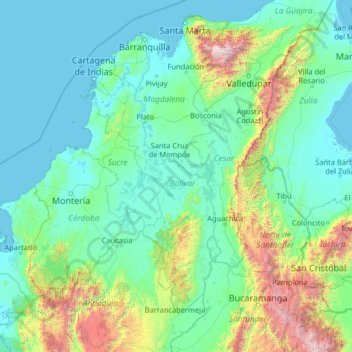
Name: Bolívar topographic map, elevation, terrain.
Location: Bolívar, Colombia (6.44000 -76.89333 11.56000 -71.77333)
Average elevation: 466 m
Minimum elevation: -3 m
Maximum elevation: 5,464 m