
Kontagora topographic map
Interactive map
Click on the map to display elevation.
About this map
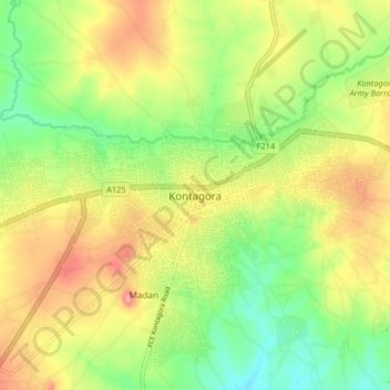
Name: Kontagora topographic map, elevation, terrain.
Location: Kontagora, Niger, Nigeria (10.35989 5.42949 10.43989 5.50949)
Average elevation: 329 m
Minimum elevation: 278 m
Maximum elevation: 388 m