
Shiroro topographic map
Interactive map
Click on the map to display elevation.
About this map
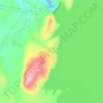
Name: Shiroro topographic map, elevation, terrain.
Location: Shiroro, Niger, Nigeria (9.93607 6.81326 9.97607 6.85326)
Average elevation: 377 m
Minimum elevation: 268 m
Maximum elevation: 561 m