
Gombe topographic map
Interactive map
Click on the map to display elevation.
About this map
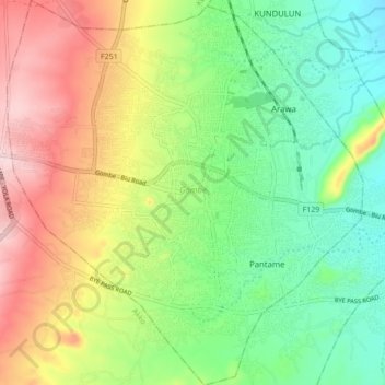
Name: Gombe topographic map, elevation, terrain.
Location: Gombe, Nigeria (10.23905 11.12125 10.32399 11.20115)
Average elevation: 486 m
Minimum elevation: 383 m
Maximum elevation: 636 m
Other topographic maps
Click on a map to view its topography, its elevation and its terrain.