
Kilba topographic map
Interactive map
Click on the map to display elevation.
About this map
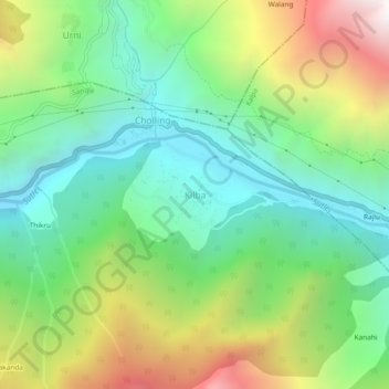
Name: Kilba topographic map, elevation, terrain.
Location: Kilba, Sangla, Kinnaur, Himachal Pradesh, India (31.49404 78.12483 31.53404 78.16483)
Average elevation: 2,367 m
Minimum elevation: 1,711 m
Maximum elevation: 3,594 m