
Ihiala topographic map
Interactive map
Click on the map to display elevation.
About this map
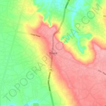
Name: Ihiala topographic map, elevation, terrain.
Location: Ihiala, Anambra State, Nigeria (5.81530 6.82011 5.89530 6.90011)
Average elevation: 95 m
Minimum elevation: 31 m
Maximum elevation: 158 m