
La Escuela topographic map
Interactive map
Click on the map to display elevation.
About this map
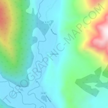
Name: La Escuela topographic map, elevation, terrain.
Location: La Escuela, Provincia de Palena, Los Lagos Region, Chile (-43.11361 -72.04223 -43.07361 -72.00223)
Average elevation: 673 m
Minimum elevation: 401 m
Maximum elevation: 1,533 m