
Uruvaiyar topographic map
Interactive map
Click on the map to display elevation.
About this map
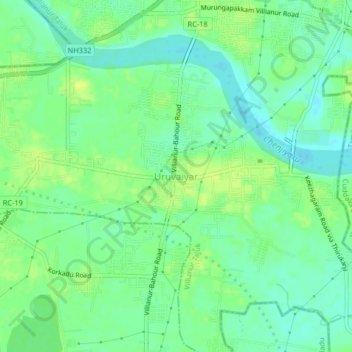
Name: Uruvaiyar topographic map, elevation, terrain.
Location: Uruvaiyar, Puducherry district, Puducherry, 605110, India (11.87139 79.73211 11.91139 79.77211)
Average elevation: 10 m
Minimum elevation: 1 m
Maximum elevation: 18 m