
Atiba topographic map
Interactive map
Click on the map to display elevation.
About this map
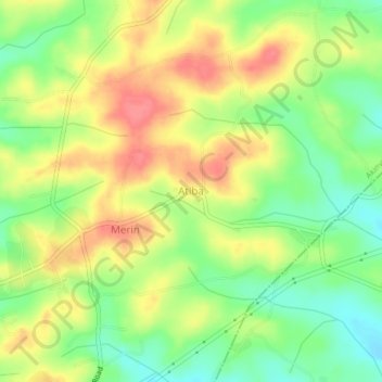
Name: Atiba topographic map, elevation, terrain.
Location: Atiba, Akinyele, Oyo, Nigeria (7.53717 3.97939 7.57717 4.01939)
Average elevation: 269 m
Minimum elevation: 235 m
Maximum elevation: 302 m