
Belur topographic map
Interactive map
Click on the map to display elevation.
About this map
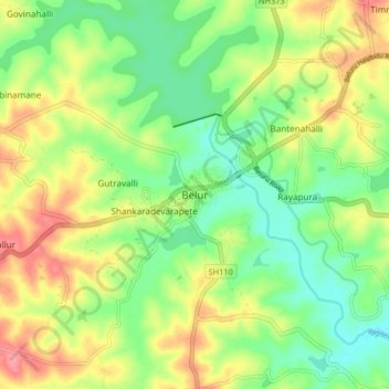
Name: Belur topographic map, elevation, terrain.
Location: Belur, Beluru taluk, Hassan district, Karnataka, 573115, India (13.12457 75.82349 13.20457 75.90349)
Average elevation: 977 m
Minimum elevation: 939 m
Maximum elevation: 1,030 m