
Siuri topographic map
Interactive map
Click on the map to display elevation.
About this map
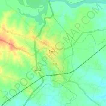
Name: Siuri topographic map, elevation, terrain.
Location: Siuri, Bīrbhūm, Birbhum, West Bengal, 731101, India (23.86658 87.48888 23.94658 87.56888)
Average elevation: 67 m
Minimum elevation: 52 m
Maximum elevation: 92 m