
Tandag topographic map
Interactive map
Click on the map to display elevation.
About this map
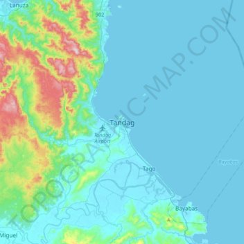
Name: Tandag topographic map, elevation, terrain.
Location: Tandag, Surigao del Sur, Caraga, 8300, Philippines (8.91998 126.03746 9.23998 126.35746)
Average elevation: 80 m
Minimum elevation: -3 m
Maximum elevation: 612 m