
Gayespur topographic map
Interactive map
Click on the map to display elevation.
About this map
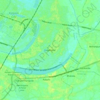
Name: Gayespur topographic map, elevation, terrain.
Location: Gayespur, Nadia, West Bengal, 741234, India (22.91204 88.44915 22.99204 88.52915)
Average elevation: 10 m
Minimum elevation: 3 m
Maximum elevation: 19 m