
Vadakkenchery topographic map
Interactive map
Click on the map to display elevation.
About this map
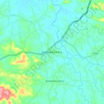
Name: Vadakkenchery topographic map, elevation, terrain.
Location: Vadakkenchery, Pālghāt, Palghat, Kerala, 678684, India (10.57022 76.46925 10.61022 76.50925)
Average elevation: 62 m
Minimum elevation: 45 m
Maximum elevation: 126 m