
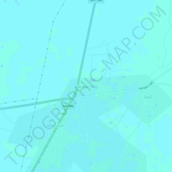
Harijan Vas topographic map
Interactive map
Click on the map to display elevation.
About this map
Name: Harijan Vas topographic map, elevation, terrain.
Location: Harijan Vas, Bhuj Taluka, Kutch District, Gujarat, India (23.65199 69.69366 23.69199 69.73366)
Average elevation: 6 m
Minimum elevation: 5 m
Maximum elevation: 9 m