
Manikonda topographic map
Interactive map
Click on the map to display elevation.
About this map
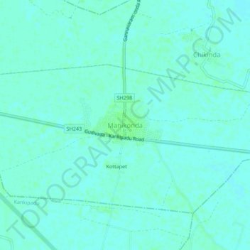
Name: Manikonda topographic map, elevation, terrain.
Location: Manikonda, Krishna, Andhra Pradesh, India (16.42990 80.81346 16.46990 80.85346)
Average elevation: 12 m
Minimum elevation: 9 m
Maximum elevation: 16 m