
Jasola topographic map
Interactive map
Click on the map to display elevation.
About this map
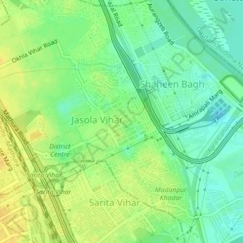
Name: Jasola topographic map, elevation, terrain.
Location: Jasola, South East Delhi, Delhi, India (28.53634 77.28194 28.54854 77.29928)
Average elevation: 207 m
Minimum elevation: 194 m
Maximum elevation: 219 m
Other topographic maps
Click on a map to view its topography, its elevation and its terrain.
Yamuna River
Yamuna River, Doctor KB Hedgewar Marg, Kashmiri Gate, Majnu Ka Tila, Delhi, Central Delhi, Delhi, 110054, India
Average elevation: 212 m