
La Ngu topographic map
Interactive map
Click on the map to display elevation.
About this map
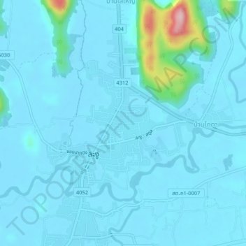
Name: La Ngu topographic map, elevation, terrain.
Location: La Ngu, Satun Province, Thailand (6.86688 99.76945 6.90688 99.80945)
Average elevation: 21 m
Minimum elevation: 2 m
Maximum elevation: 242 m