
Mayland topographic map
Interactive map
Click on the map to display elevation.
About this map
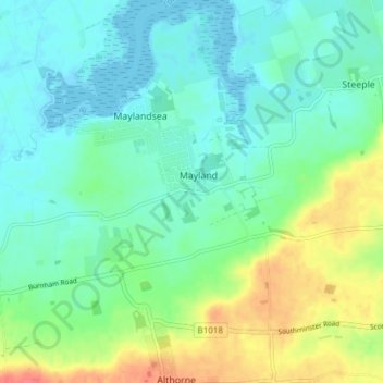
Name: Mayland topographic map, elevation, terrain.
Location: Mayland, Maldon, Essex, East of England, England, United Kingdom (51.65571 0.73924 51.70274 0.79826)
Average elevation: 16 m
Minimum elevation: -2 m
Maximum elevation: 54 m