
Isa topographic map
Interactive map
Click on the map to display elevation.
About this map
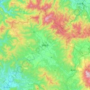
Name: Isa topographic map, elevation, terrain.
Location: Isa, Kagoshima Prefecture, Kyushu Region, Japan (31.89699 130.45309 32.21699 130.77309)
Average elevation: 350 m
Minimum elevation: 18 m
Maximum elevation: 1,081 m