
Göllersdorf topographic map
Interactive map
Click on the map to display elevation.
About this map
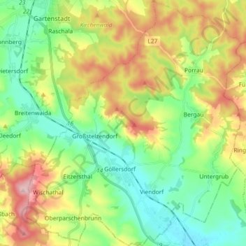
Name: Göllersdorf topographic map, elevation, terrain.
Location: Göllersdorf, Bezirk Hollabrunn, Lower Austria, 2013, Austria (48.46315 16.06570 48.55744 16.19111)
Average elevation: 272 m
Minimum elevation: 191 m
Maximum elevation: 411 m