
Santa Ana topographic map
Interactive map
Click on the map to display elevation.
About this map
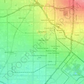
Name: Santa Ana topographic map, elevation, terrain.
Average elevation: 30 m
Minimum elevation: -1 m
Maximum elevation: 80 m
Santa Ana is nested on flat, low-lying plains with little land elevation change. Running through the west end of the city is the mostly channelized Santa Ana River, which is also largely seasonal due to the construction of the Prado Dam and Seven Oaks Dam. The river has caused several severe floods in the 20th century, and is a continued threat despite the existence of the dams.