
Almora topographic map
Interactive map
Click on the map to display elevation.
About this map
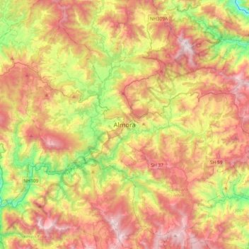
Name: Almora topographic map, elevation, terrain.
Location: Almora, Uttarakhand, 263600, India (29.44168 79.50338 29.76168 79.82338)
Average elevation: 1,557 m
Minimum elevation: 762 m
Maximum elevation: 2,383 m