
Maumere topographic map
Interactive map
Click on the map to display elevation.
About this map
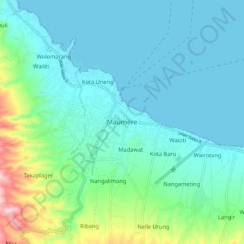
Name: Maumere topographic map, elevation, terrain.
Location: Maumere, East Nusa Tenggara, 86111, Indonesia (-8.66565 122.17929 -8.58565 122.25929)
Average elevation: 53 m
Minimum elevation: 0 m
Maximum elevation: 281 m