
Gurin topographic map
Interactive map
Click on the map to display elevation.
About this map
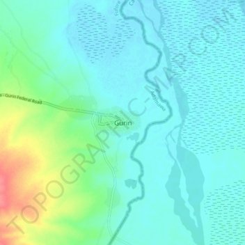
Name: Gurin topographic map, elevation, terrain.
Location: Gurin, Fufore, Adamawa, Nigeria (9.07169 12.84506 9.15169 12.92506)
Average elevation: 191 m
Minimum elevation: 178 m
Maximum elevation: 243 m