
KG Währing topographic map
Interactive map
Click on the map to display elevation.
About this map
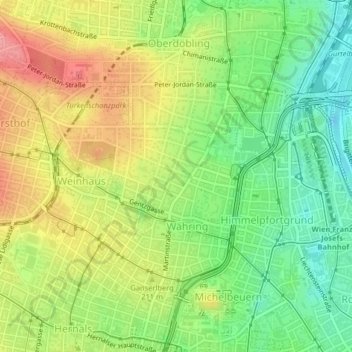
Name: KG Währing topographic map, elevation, terrain.
Location: KG Währing, Währing, Vienna, 1180, Austria (48.21725 16.31906 48.24282 16.35377)
Average elevation: 204 m
Minimum elevation: 156 m
Maximum elevation: 261 m
Other topographic maps
Click on a map to view its topography, its elevation and its terrain.
KG Innere Stadt
KG Innere Stadt, Innere Stadt, Vienna, 1010, Austria
Average elevation: 184 m