
Langtang topographic map
Interactive map
Click on the map to display elevation.
About this map
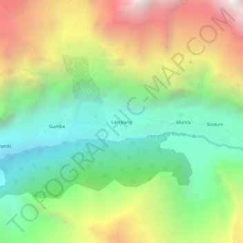
Name: Langtang topographic map, elevation, terrain.
Location: Langtang, Rasuwa, Bagmati, Central Development Region, Nepal (28.19576 85.48898 28.23576 85.52898)
Average elevation: 4,095 m
Minimum elevation: 3,154 m
Maximum elevation: 5,531 m