
Teda topographic map
Interactive map
Click on the map to display elevation.
About this map
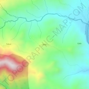
Name: Teda topographic map, elevation, terrain.
Location: Teda, Ainaro, East Timor (-9.15889 125.32028 -9.11889 125.36028)
Average elevation: 420 m
Minimum elevation: 170 m
Maximum elevation: 995 m