
Borgue topographic map
Interactive map
Click on the map to display elevation.
About this map
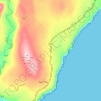
Name: Borgue topographic map, elevation, terrain.
Location: Borgue, Caithness, Scotland, KW7 6HA, United Kingdom (58.19074 -3.49983 58.23074 -3.45983)
Average elevation: 107 m
Minimum elevation: 0 m
Maximum elevation: 271 m