
Machakos topographic map
Interactive map
Click on the map to display elevation.
About this map
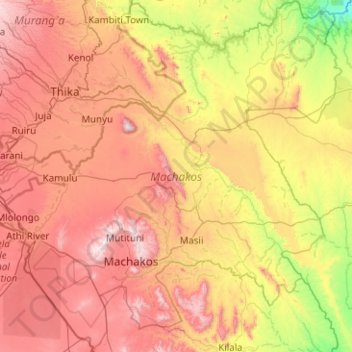
Name: Machakos topographic map, elevation, terrain.
Location: Machakos, Kenya (-1.78016 36.87891 -0.77705 37.86750)
Average elevation: 1,347 m
Minimum elevation: 721 m
Maximum elevation: 2,138 m