
Takai topographic map
Interactive map
Click on the map to display elevation.
About this map
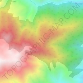
Name: Takai topographic map, elevation, terrain.
Location: Takai, Swāt District, Khyber Pakhtunkhwa, Pakistan (35.18332 72.48705 35.22332 72.52705)
Average elevation: 2,322 m
Minimum elevation: 1,557 m
Maximum elevation: 3,084 m