
Thaton topographic map
Interactive map
Click on the map to display elevation.
About this map
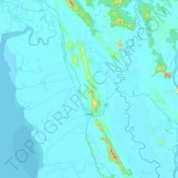
Name: Thaton topographic map, elevation, terrain.
Location: Thaton, Mon, 100, Myanmar (16.75112 97.14267 17.20834 97.53767)
Average elevation: 18 m
Minimum elevation: -2 m
Maximum elevation: 499 m