
Benton County topographic map
Interactive map
Click on the map to display elevation.
About this map
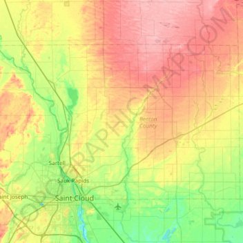
Name: Benton County topographic map, elevation, terrain.
Location: Benton County, Minnesota, United States of America (45.55911 -94.35320 45.82417 -93.75867)
Average elevation: 340 m
Minimum elevation: 289 m
Maximum elevation: 407 m